Experience the Fleet
Turning Vision into Results
1. Plan and Execute the Flight
(Flight Apps used)
- Air Data UAV – Flight logging, risk assessments, safety tracking and performance monitoring, satellite and weather information.
- DJI FLY – Precision fly control, intelligent flight modes, real-time camera management for smooth repeatable aerial capture.
- Air Control (LAANC) – real-time airspace coordination, controlled airspace approvals, and safe, compliant flight operations.
2. Capture High Quality Photos/Video/Data
- Deploy advanced aerial imaging systems (drones) to collect precise visual information with clarity, accuracy, cinematic composition and professional detail.
3. Process and Edit
Aerial Imaging and Editing
- Davinci Resolve – premium professional color grading, cinematic editing and high-end video production.
- CapCut PRO – fast-turnaround social media content in branded reels.
- Adobe LightRoom – digital darkroom techniques, color correcting for photographers.
Mapping and Data Processing
- Drone Deploy – Orthomosaic mapping, 2-D, 3-D modeling and site analysis.
- Maps Made Easy – Hi-resolution photogrammetry and terrain modeling.
4. Verify and Deliver
- Quality-checking and delivering finalized photos, media and data to clients.
Note: All media is professionally edited and color-graded using industry-standard software, including CapCut and Davinci Resolve. Mapping and data products are processed using Drone Deploy and Maps Made Easy backed by high-performance GPU processing.
Meet the crew
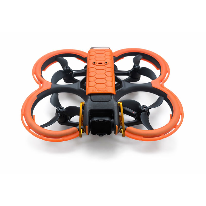
DJI Avata 2 (nickname: Frog)
Immersive First-Person-View (FPV) Fly-Throughs
Fast, agile and ideal for dynamic indoor and outdoor cinematic motion shots. Ultra-wide camera with advanced stabilization delivers smooth, immersive 4K video even in tight spaces.
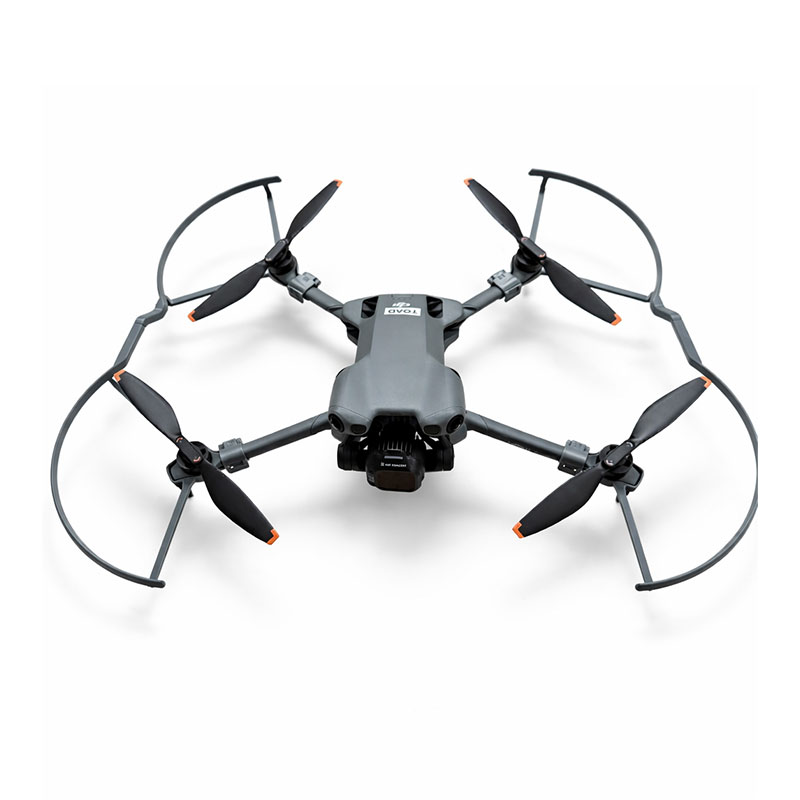
DJI Mini 5 Pro (nickname: Tiny Toad)
Compact Aerial Imaging
Lightweight and portable with strong photo and video capability. High-resolution sensor captures sharp photos and detailed 4K video with excellent dynamic range and color.
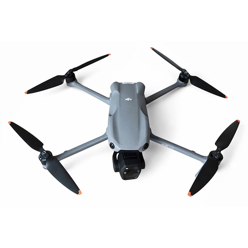
DJI Air 3S (Nickname: Toad)
Versatile Commercial Cinematics
Dual-camera flexibility for high-end aerial content. Wide and telephoto lenses enable creative framing, depth, and professional-grade 4K video capture.
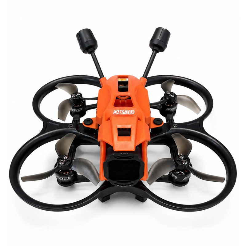
The GEPRC DarkStar22
The GEPRC DarkStar22 is small, lightweight (249grams) FPV cinewhoop designed to capture smooth, immersive 4K cinematic footage in places larger drones can’t reach. Its compact size and protected propellers make it ideal for dynamic indoor and outdoor flights, creating unique perspectives for real estate, businesses, events and promotional videos.
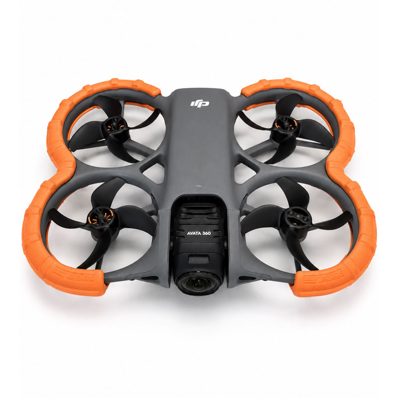
DJI Avata 360
The DJI Avata 360 captures fully immersive 360-degree video, allowing every angle of a scene to be recorded simultaneously. This gives complete creative freedom in post-production to choose camera angles, create dynamic, almost “impossible” perspectives, and produce engaging, interactive content that traditional drones simply can’t capture.
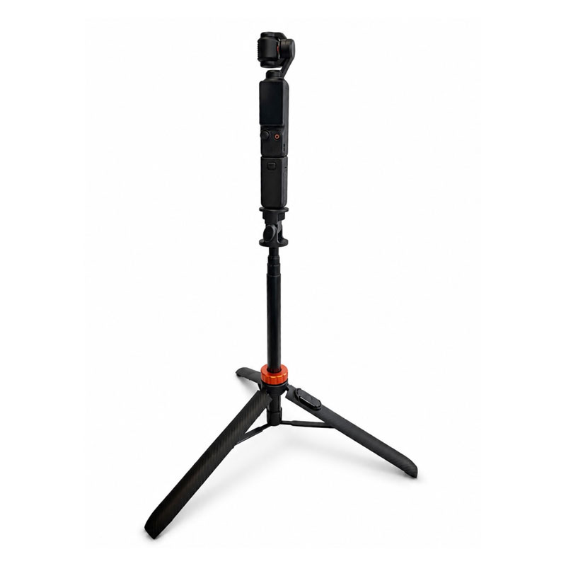
DJI Osmo 3
The DJI Osmo 3 delivers smooth, stabilized, crystal-clear 4K video and professional-quality audio in a compact handheld camera. It’s perfect for capturing cinematic walk-throughs, action content and dynamic ground footage that complements aerial drone imagery.
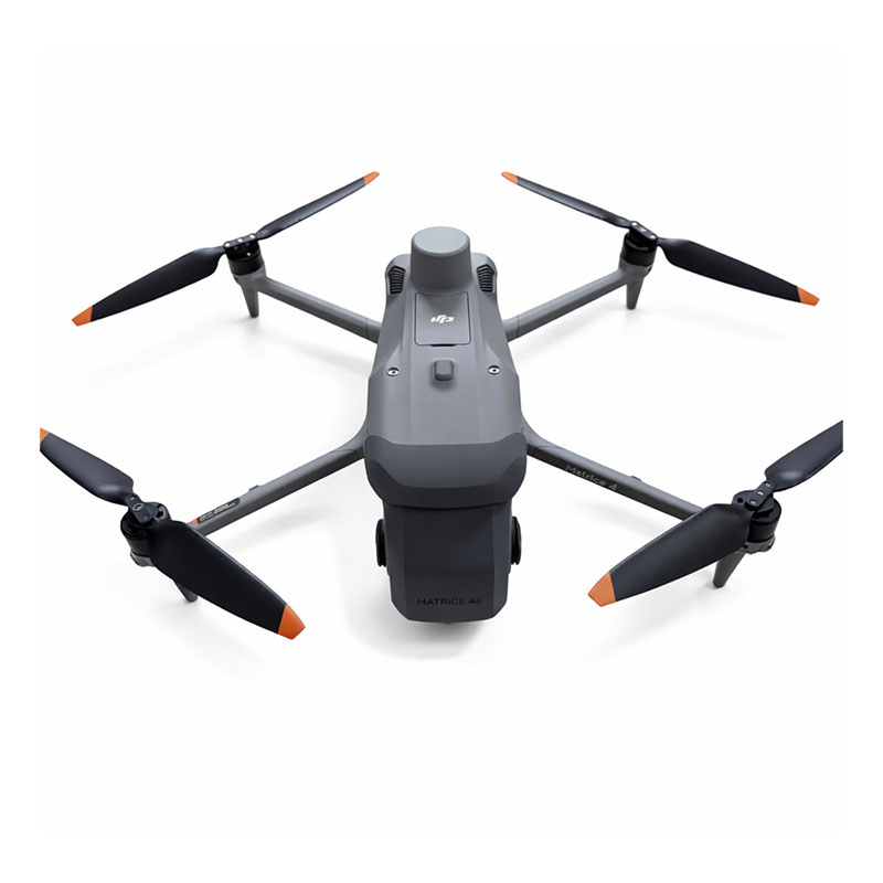
DJI Matrice 4E (nickname: BullFrog)
Precision Mapping & Surveying
Built for data capture, mapping, photogrammetry and 2D/3D modeling. High-resolution imaging systems paired with Real-Time Kinematics (RTK) positioning delivers maps, models and survey data within 1-3 centimeters accuracy.
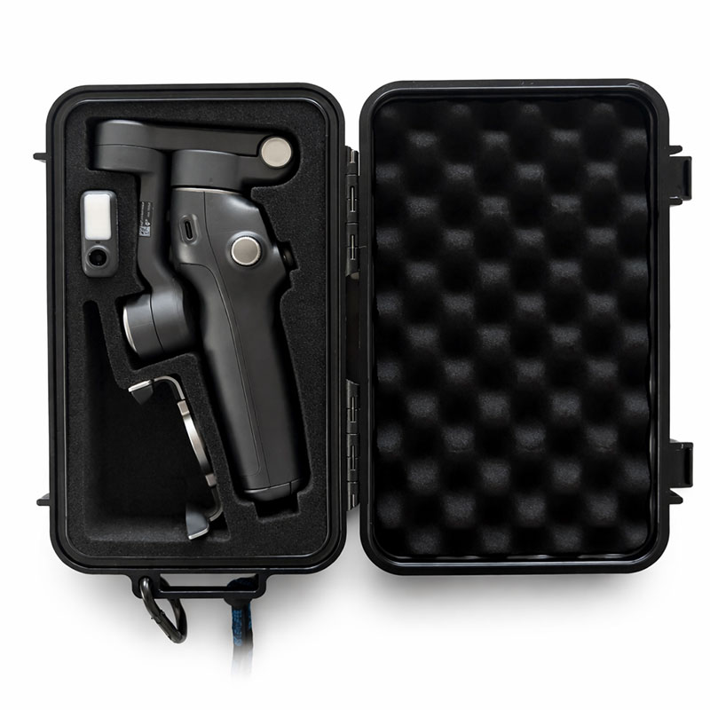
DJI Osmo 8 Advanced Tracking Gimbal (Nickname: Hot Tamally)
Stabilized Ground Tracking with iPhone 17 Pro Max
Smooth handheld footage with intelligent subject tracking. Advanced stabilization and smartphone camera integration produce clean, cinematic ground-level video.
Note: All drones are Federal Aviation Administration (FAA) registered and operated by a certified Part 107 pilot for safe, legal and professional operations. Right-of-way is always given to pedestrians, vehicles and manned aircraft.